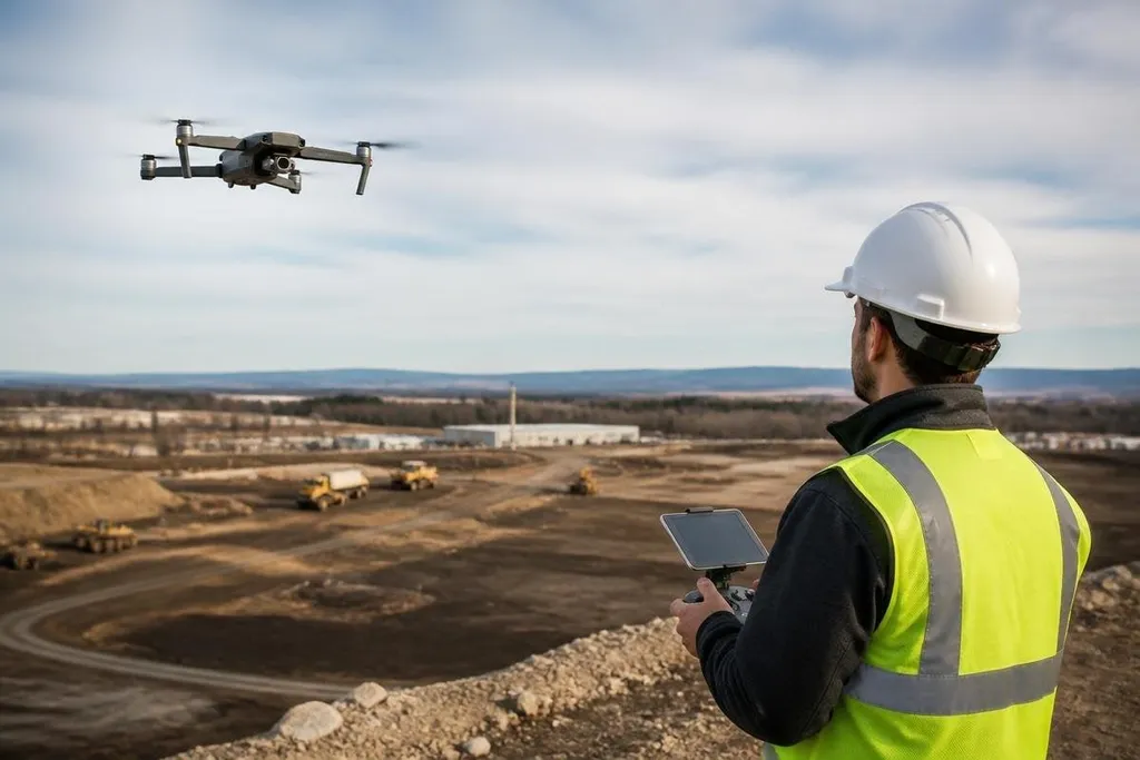
A robotic drone can inspect a roof, map a worksite, or check a crop without sending a person into the first pass. The same aircraft can still miss a wire, lose its position, or make a bad choice when weather and people enter the flight path.
- Best use: repeatable checks in places that are hard or unsafe to reach
- Main limit: autonomy depends on sensors, maps, signal quality, and rules
- Buyer test: compare the drone’s actual task with the cost of human review
Where drones help
Robotic drones are most useful when the task has a clear route and a visible result. A drone can follow planned points, take images, return to its launch area, and send the files to a person for review.
That pattern fits roof inspections, stockpile surveys, bridge checks, and crop monitoring. The aircraft handles the flight, while a technician checks the images and decides what needs action. This reduces time spent reaching the inspection area, but it doesn't remove the need for a trained person.
Repeating the same route on a set schedule makes changes easier to spot because the images come from similar angles and locations. The value comes from the comparison between flights, not from the word “autonomous” on a product page.
How the system works
A robotic drone combines flight control with sensors that help it estimate position and avoid objects.
GPS gives an outdoor position, while an inertial measurement unit tracks motion and rotation. Cameras can support visual navigation when the aircraft needs to hold a route near buildings or trees.
Some systems add LiDAR, which measures distance with laser pulses. A thermal camera reads heat rather than visible light, so it can help find hot electrical parts or monitor temperature changes on equipment. Each sensor has a limit: GPS can lose accuracy near buildings, cameras need usable light, and thermal images still need careful interpretation.
The control system also uses geofencing. A geofence is a digital boundary that blocks or limits flight in a set area. Remote ID can send aircraft identity and position information where local rules require it, but the exact legal duties depend on the country and the type of operation.
Flight approval on paper still leaves a buyer with a practical question: what happened at the test site? Drone reports from Robot24.com can tie a claim to a named aircraft, location, date, and result before the next section examines risks people miss.
The risks people miss
The first risk is a wrong reading of the scene. A camera may record a defect without showing its cause, and an object that looks safe from above may hide a person, cable, or moving vehicle below. A person still needs to check the result before work starts.
Flight loss creates a second risk. A weak control signal, blocked GPS view, low battery, or software fault can send the drone into an unexpected landing. A return-to-home setting helps only when the system knows its position and the return path is clear.
Privacy also needs a written limit. An RGB camera can record homes, workers, or nearby sites during a normal inspection. Set the flight area, store only the images needed for the task, and control who can view them.
Weather changes the risk quickly. Wind affects flight time and position, rain can damage exposed electronics, and dust can reduce sensor quality. The aircraft’s IP rating, wind limit, battery plan, and landing process belong in the work plan before the first flight.
A practical buying checklist
Use these checks before you choose a drone or approve an automated flight:
- Name the task: write the exact item the drone must inspect, measure, or map.
- Set human review: decide who checks images and who can stop the work.
- Check the sensors: match GPS, cameras, LiDAR, or thermal imaging to the site.
- Plan lost-flight actions: record what happens after a weak signal, low battery, or blocked route.
- Check local rules: confirm flight limits, privacy duties, operator training, and remote ID needs.
- Run a small trial: test the route in the real weather and light before buying more aircraft.
I'd use a robotic drone for repeat inspections where a person can review the result, and I'd skip full autonomy around moving people until the site has clear limits and a tested stop process.
The next useful step is a short trial with one route, one trained reviewer, and a written record of every missed object, false alert, and forced landing.